
Gwinear-Gwithian
Parish Council
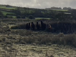
The Parish of Gwinear-Gwithian lies in the west of Cornwall, in the former Penwith District. The Parish covers 2,977 hectares, and stretches from the coastline at Godrevy Point down to Fraddam, incorporating the villages of Gwithian, Gwinear, Connor Downs, Carnhell Green, and the hamlets of Fraddam, Wall, Reawla, Roseworthy, and Upton Towans.
The Parish is bordered by Camborne Parish to the north-east, by Hayle Parish to the west, St Erth Parish to the south-west, and Crowan Parish to the south. The civil parishes of Gwinear and Gwithian were combined to form the parish of Gwinear-Gwithian in 1934.
Council Meetings
All council meeting information including minutes and agendas.
Planning Applications
Information about planning permission in the parish with links to online applications.
Community Halls
Contact details and hiring information on all community spaces.
Report It!
Issues with roads, verges, fly-tipping, dog waste, antisocial behaviour & more.
Latest Council & Community News

Do you really want to make a difference in your community?
Quotations for works at The Pound, Gwithian
Gwinear-Gwithian Parish Council (GGPC) are requesting quotations (not estimates) for works within Gwithian Green to cover various tasks to be undertaken in the management and interpretation of an area contained within it, known as the Pound or Round, Green Ln,...

Elizabeth Sampson Playing Field Survey
The first phase of the Elizabeth Sampson Playing Field is complete, it was fabulous to see all of the visitors arriving to the park following its opening on Friday. There is still planting to be done and some dry weather to hope for, but the new equipment is...